|
|
|
The class divided into 5
groups
|
|
Data Acquisition, Water Chemistry, Land use, GIS, Development
|
|
WATER QUALITY ASSESSMENT
|
|
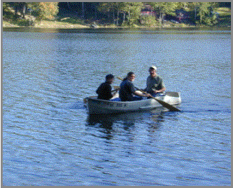
Data acquisition and water
chemistry groups coordinated water sampling trips and water chemical analysis
|
|
WATERSHED ASSESSMENT
|
|
Land use group analyzed the land use types in the
watersheds and their impact on the watershed - produced maps
|
|
|
|
GIS group using a mapping
and modeling program
|
|
bathymetry maps
|
|
models of
erodibility, logging suitability, development suitability
|
|
|
|
Development group performed buffer strip survey,
house counts, and road surveys to determine the impact of development on the
lakes
|