
Study Objectives
�Calculate proportion of Webber Pond watershed covered
by various land uses:
-Road
surveys
-Residence counts
-Buffer strip surveys
-GIS land use map analysis
-1997 aerial map
-1956
aerial map
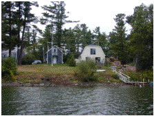
Residential development in the
watershed