|
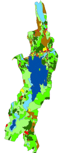
The third input map was the
1998 land use map that kelly talked about before the break. All the land use types were
classified in the watershed. We
rated each on the 1-9 scale based on the potential for erosion in each. A closed canopy and deep root systems
minimize erosion by absorbing water.
These areas, such as wetlands and mature forests were given a value of
one. Compacted and cleared land
have high potential for erosion and were rated as 9. The crop and commercial land use
types are examples.
|