Maps
�
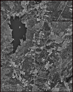
Used digital orthophoto
quadrangles downloaded
from the Maine Office
of GIS for 1998
�
Aerial photos for 1956
�
Computer program
ArcMap
TM