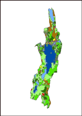
Methods
�
Polygons drawn
�
Color codes to distinguish
between land use
categories
�
Calculated the cumulative
area
�
Comparison made between
1956 and 1998 watersheds
Auto complete- �snaps� polygons to each other- no spaces between them