�GIS: a computer system used for displaying and manipulating geographic data that shares a common coordinate system
A Geographic Information
Systems (or GIS) was used to conduct the land use analysis.GIS is a system of computer hardware
and software that can be used to display and manipulate information about a
geographic area.
GIS is commonly used to
display data such as land use types, elevation, and soil type.It can also be used to combine these
attributes and to generate models that predict trends in other data.
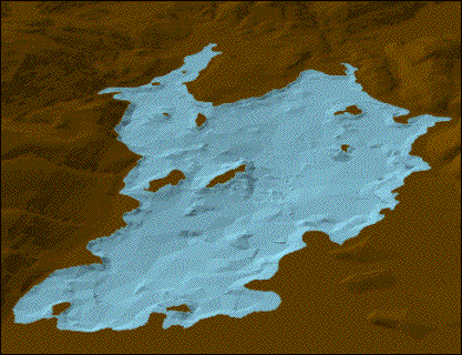
This is a GIS contour map of
the Togus Pond watershed.It
shows the lake and the slope of the surrounding land.