Aerial Photography
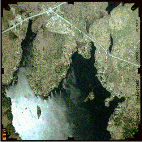
| Aerial photographs served as
the basis for the land use maps.
We purchased nine black and white aerial photographs of the watershed
in 1954, and fourteen color photographs of the watershed in 2002 (this was the
most recent year for which photographs were available). This image of the northern half of
the Togus Pond is an example of one of the 2002 photographs. |