Drawing Polygons
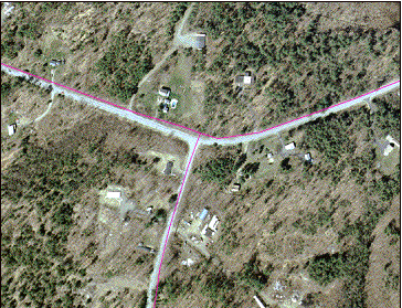
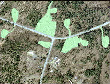
| After georeferencing, the
next step in making the land use maps was to digitize the land use
types. This was done by drawing
polygons around each unique area of land use, as is shown here in the
designation of residential areas. |
|
| On the left is an area of
the 2002 photograph, and on the right is the same photograph, with polygons
drawn around each of the residential areas. Note how the residential areas include driveways, lawns,
and other buildings associated with the house. |