Digitizing Land Use Types
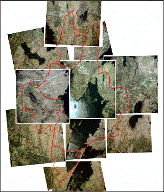

| The process of drawing
polygons was used to digitize the entire area of the watershed with respect
to its land use types. These
images illustrate this process, and show the 2002 land use map about halfway
completed. Here, the individual
polygons are visible throughout the expanse of the watershed. |
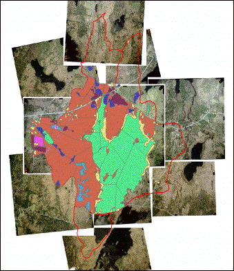
|
| Once the entire area of the
watershed was digitized, the land use maps were finalized by merging the
polygons, which joined areas of the same land use type. |