|
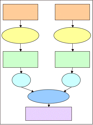
The second GIS model we
created was the Septic Suitibility Model. Septic systems in the Togus Pond
watershed have a significant potential impact on the nutrient loading of the
lake. When the installation of
new septic systems or leach fields is being considered, the soil type and
slope should be analyzed before construction. This model, much like the erosion potential model,
combines two weighted factors, soil septic limitations and slope, into one
geographical image that shows how they interact in the overall septic
suitability of the watershed.
Through the use of this model, areas where septic systems might become
a major problem for the water quality of the lake can be easily identified.
|