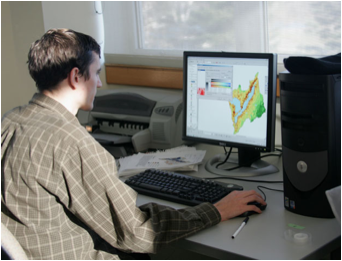
Specifically GIS was
employed in two ways within our study. GIS was used to survey the China Lake
watershed as a part of the land use survey. Secondly, GIS was employed to
create models of the China Lake watershed. These models include, the septic
suitability model, the erosion potential model and the potential erosion
impact model.