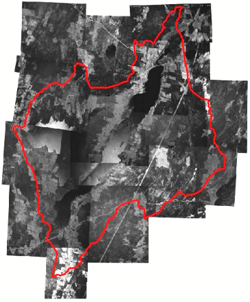
In the land use survey of
1965, 18 large format aerial photographs were utilized to survey the China
Lake Watershed.The aerial
photographs were originally taken on 6-May-65 by the United States Department
of Agriculture (USDA).The
photographs were taken at a scale of 1:20,000 and printed in large format
(approximately 60 cm x 60 cm).