|
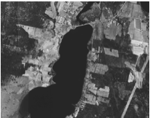
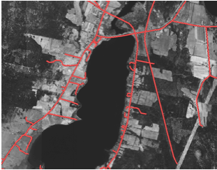
The coordinate system was
applied to the 1965 composite image through a system of georeferencing,
whereby physical features within the image were matched to corresponding
features in a pre-existing layer.
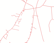
In our survey, the image was matched to the georeferenced roads layer
of the China Lake watershed downloaded from MEGIS.
|