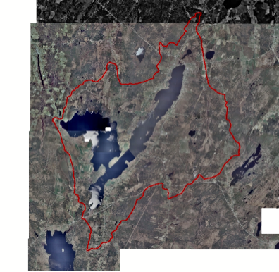
In the 2003 land use survey,
14 DOQs were downloaded from MEGIS (six of 1 ft resolution, six of 2 ft
resolution and two of 1 m resolution).Unlike the aerial photographs, the GIS coordinate system is already integrated
into DOQs and could be imported directly into ArcGIS� without georeferencing.