Study Objectives
�
Land Use
–
DOQs to determine
land use
–
–
Used for projections,
phosphorus budget
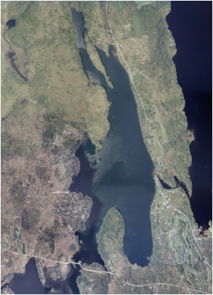
Digital Orthophoto Quads were used to determine land use within the watershed.
These aerial photos were used to differentiate between specific land use types
-Percentages were calculated within the watershed using the images
Numbers were used in models and well as the phosphorus budget which will be talked about later in the presentation