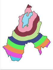
�
Lake
�
Proximity
40%
50%
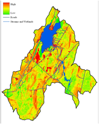
Erosion Impact Map
10%
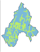
Stream Proximity
Erosion Potential
Slide 13 – Erosion Impact Overlay
For the purposes of our model, erosion potential was the most important characteristic, followed by lake proximity and then stream proximity